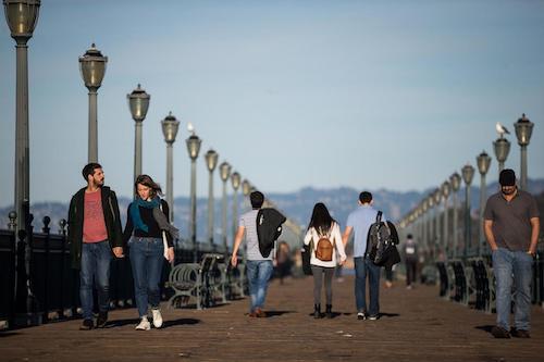
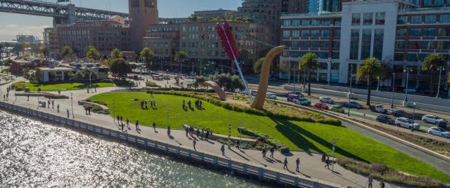
The neighborhoods along the Embarcadero face urgent seismic risks and increasing flood risks from sea level rise. The Port of San Francisco, along with City partners, are addressing both of these risks through the Embarcadero Seawall Program and Embarcadero Early Projects, Waterfront Adaptation Strategies Development, and the San Francisco Waterfront Flood Study.
The Port is working to ensure that all resilience strategies developed create opportunities for San Francisco’s historically underserved communities to engage in decision making and benefit directly – both through job opportunities and post-construction conditions. Historically underserved communities, particularly in the southeast, are often hit first and worst by climate hazards such as storm and coastal flooding, impacting jobs, housing, and access to and from the community.

Resilience Efforts Underway
San Francisco Waterfront Flood Study - Draft Plan
The U.S. Army Corps of Engineers (USACE), in collaboration with the City of San Francisco, has reached an important milestone in the San Francisco Waterfront Flood Study – the release of the Draft Plan.
The Draft Plan is part of the San Francisco Waterfront Flood Study (Flood Study), which analyzes the coastal flood risk and effects of sea level rise for the 7.5 miles of waterfront within the Port of San Francisco’s jurisdiction, from Aquatic Park to Heron’s Head Park.
Reflecting more than six years of community engagement and public input, the Draft Plan proposes actions to defend the shoreline against rising sea levels and presents an environmental analysis of those actions. Visit the Draft Plan page to learn more.
Embarcadero Early Projects
Embarcadero Early Projects address the areas of highest earthquake and sea level rise risks along the Embarcadero waterfront. They are near-term actions, focused on improving life safety and citywide disaster response capabilities, and are the first step toward building long-term, waterfront-wide resilience.
Learn more about Embarcadero Early Projects
Embarcadero Seawall Program
The Port is leading the Embarcadero Seawall Program, a citywide effort to create a more sustainable and resilient waterfront. Part of the Port's Waterfront Resilience Program, the Embarcadero Seawall Program will provide the tools to address current and future risks over time.
The Multi-Hazard Risk Assessment, or MHRA, provides a comprehensive understanding of existing earthquake and flood risks along the Embarcadero and establishes a basis for the development of Embarcadero Early Projects (see below).
