The U.S. Army Corps of Engineers (USACE), in collaboration with the City of San Francisco, has reached an important milestone in the San Francisco Waterfront Flood Study – the release of the Draft Plan.
The Draft Plan is part of the San Francisco Waterfront Flood Study (Flood Study), which analyzes the coastal flood risk and effects of sea level rise for the 7.5 miles of waterfront within the Port of San Francisco’s jurisdiction, from Aquatic Park to Heron’s Head Park.
Reflecting more than six years of community engagement and public input, the Draft Plan proposes actions to defend the shoreline against rising sea levels and presents an environmental analysis of those actions.
The Draft Plan indicates where to build coastal flood defenses and how much sea level rise future coastal flood defenses will manage before they need to be adapted to higher water levels. The proposed solutions are estimated to cost $13.5 billion, and, if approved by Congress, the Federal government may pay up to 65% of the construction cost. Cost estimates are preliminary, high-level, and subject to change.
The Draft Plan does not include detailed designs for flood defenses; designs for waterfront streets, open spaces, and infrastructure; timing and sequencing of construction; or a funding plan. These elements will be developed during later phases with the public, USACE, and City Agencies. View and download the Draft Plan one-pager (1.86MB).
Explore the Draft Plan Online
There are more ways to get to know the Draft Plan. Explore the Draft plan online through interactive StoryMaps.
What Is Included in the Draft Plan?

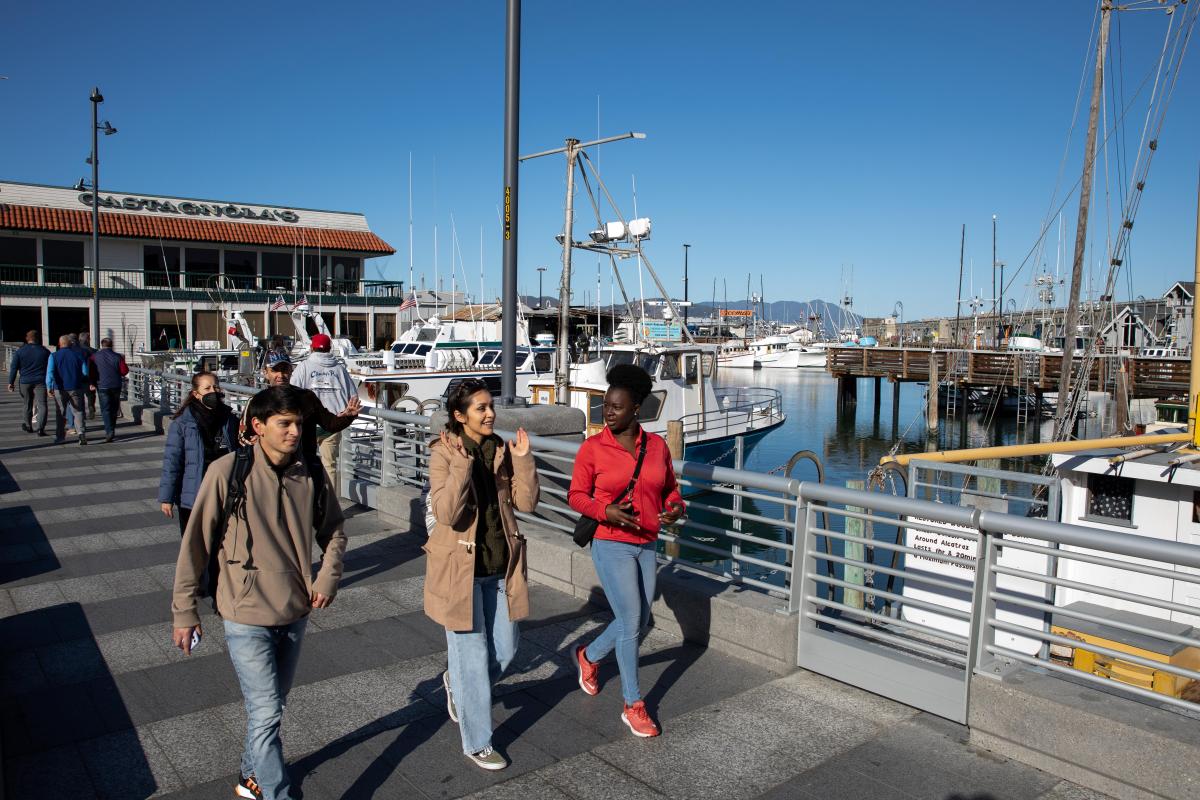
Fisherman's Wharf
The Draft Plan in Fisherman’s Wharf takes advantage of the existing higher ground and uses floodproofing and short floodwalls on piers and wharves to reduce near-term damages to lower-lying buildings and assets.

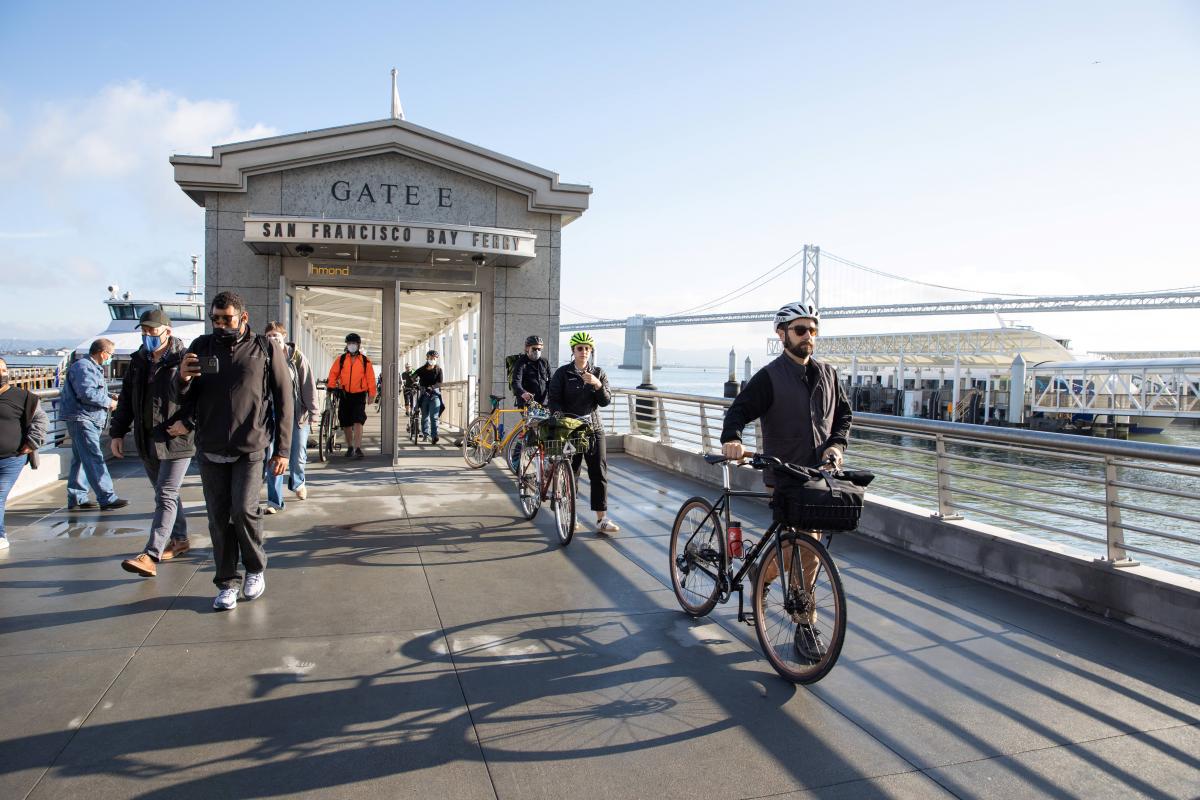
Embarcadero
In the Embarcadero the Draft Plan focuses on raising the seawall at the shoreline edge with a gradual transition to connect the shoreline to the existing city elevation across the Embarcadero, maintaining the city’s connection to the waterfront and adapting historic wharves and buildings.

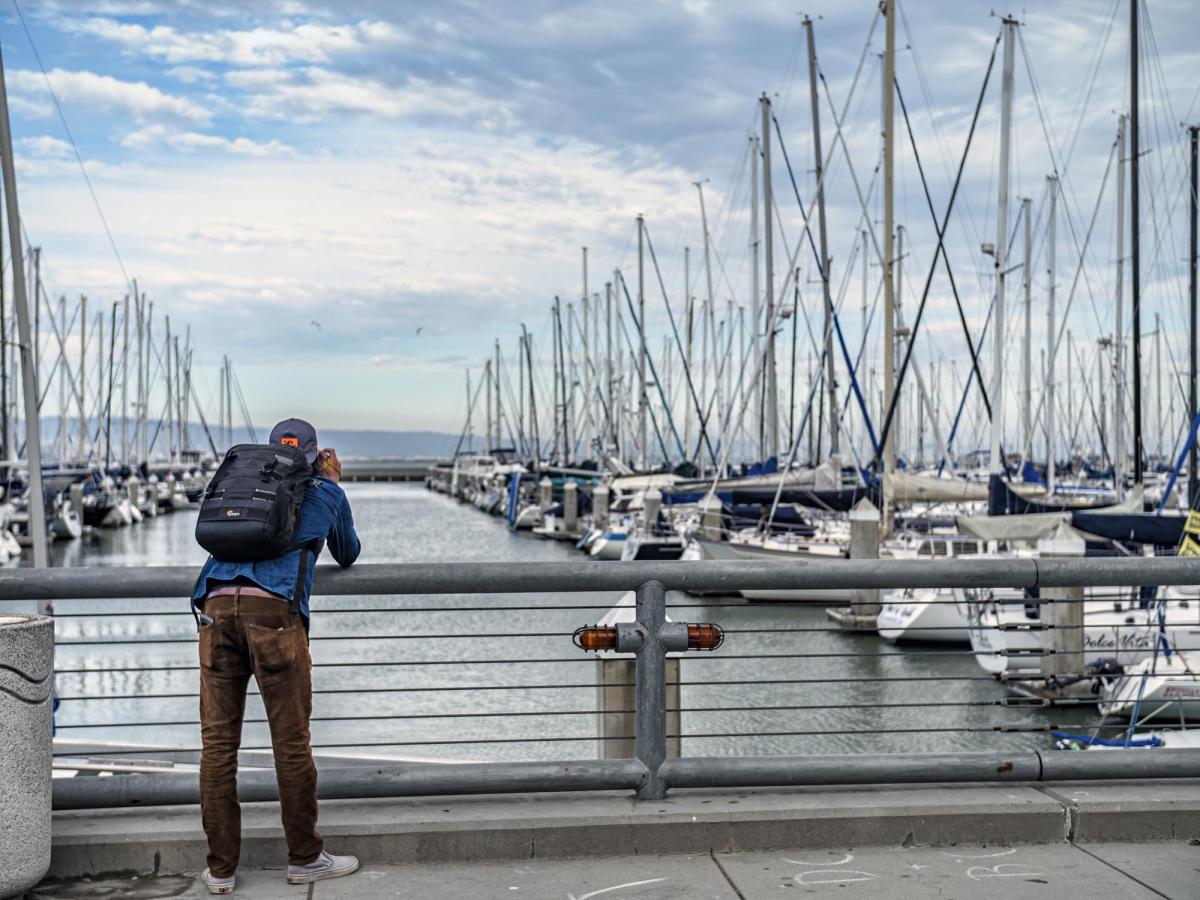
South Beach / Mission Bay
In South Beach / Mission Bay the Draft Plan uses a combination of berms/levees, seawalls, nature-based features such as creek enhancements, and closure structures for the bridges. In addition, the Draft Plan proposes adding short floodwalls on piers in this area.

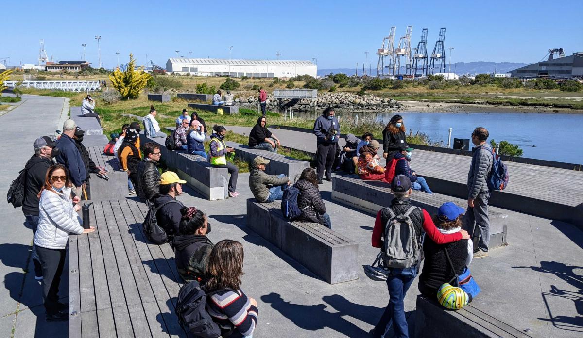
Islais Creek / Bayview
In Islais Creek / Bayview the Draft Plan uses a combination of berms/levees, nature-based features such as creek enhancements, and closure structures for the bridges. In addition, the Draft Plan proposes adding short floodwalls on piers in this area.
Development of the Draft Plan incorporates years of rigorous technical analysis. View and download the full list documents from the Draft Integrated Feasibility Report and Environmental Impact Statement (Draft Report and EIS).