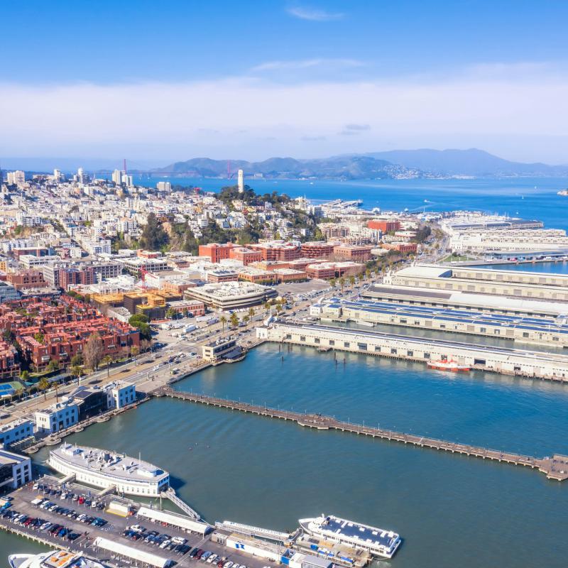
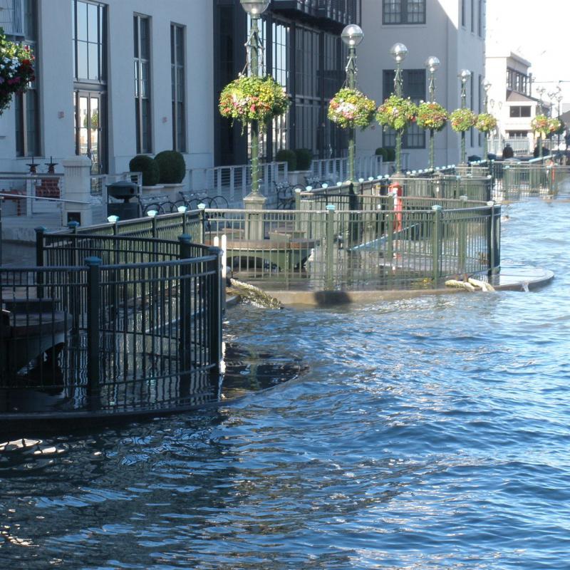
San Francisco faces coastal flood risks today. These risks will increase in the future due to sea level rise and extreme storms, threatening buildings, small businesses, jobs, and critical services such as BART and Muni. To defend San Francisco from current and future flood risk, there is a need to adapt shoreline elevations to address 3 to 7 feet of sea level rise expected by 2100. Any effort aimed at long-term sea level rise resilience will also need to strengthen the waterfront against urgent earthquake risk today.
The waterfront has a history rich with innovative adaptation, and resilience is forged in our city's identity. We have a once in a generation opportunity to not only defend our waterfront from future flood and earthquake risks, but also to improve and rejuvenate the waterfront, improve the City’s connection to the Bay, and bring benefits such as more open space, enhanced mobility, safety and jobs.
The Waterfront Resilience Program works to ensure the waterfront, and its critical regional and citywide assets, are resilient to hazards - and increasingly accessible to everyone it serves.
San Francisco Waterfront Flood Study - Draft Plan Released
The U.S. Army Corps of Engineers (USACE), in collaboration with the City of San Francisco, has released the Draft Plan to build coastal flood defenses along the Port's 7.5-mile jurisdiction between Aquatic Park and Heron's Head Park.