Parks & Open Spaces

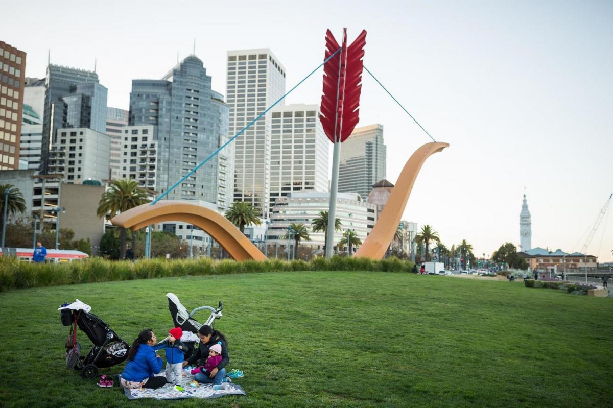
People sitting on the lawn at Rincon Park

There are miles of parks, plaza, green spaces and views of the bay to enjoy. From the green spaces at Heron’s Head Park and Crane Cove Park in the southern waterfront, to great fishing at Agua Vista and China Basin in the central waterfront, to sweeping views from Pier 7 and Fisherman’s Wharf in the northern waterfront, there is room for everyone to enjoy the scenic waterfront. 

The Embarcadero Promenade offers visitors the chance to jog or take leisurely walks with stunning views of the Bay as a backdrop. Running through the Port are two segments of the San Francisco Bay Trail, a 500-mile shoreline trail that circles San Francisco Bay. The Embarcadero Promenade wraps the northern waterfront from the Fisherman’s Wharf to the Giants ballpark. The Blue Greenway traverses the southern waterfront from China Basin to Heron’s Head Park, extending to South San Francisco. 

Public piers across the waterfront offer breathtaking vantage points of the city, San Francisco Bay and beyond. Piers are listed from north to south: 

  • Pier 41, adjacent to PIER 39
  • Pier 15 (The Exploratorium)
  • Pier 7
  • Pier 1 
  • Pier 14
  • Giants Promenade pier, adjacent to South Beach Harbor 
Cruise Terminal Plaza

Neighborhood: North Waterfront

Location: James R Herman Cruise Terminal

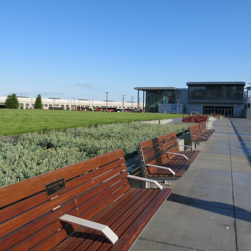
Cruise Terminal Plaza is 2 ½ acres of open space outside the James R. Herman Cruise Terminal at Pier 27. The Plaza is an expansive lawn with 50 benches perfect for relaxation and play, as well as watching cruise ships come and go from San Francisco. Attached to the benches are images and history about some of the most prominent cruise ships to have called at the Port.


Park Amenities

  • Accessible Raised Grass Area
  • Benches
  • Plaza Space for Special Events
  • Interpretive Signs
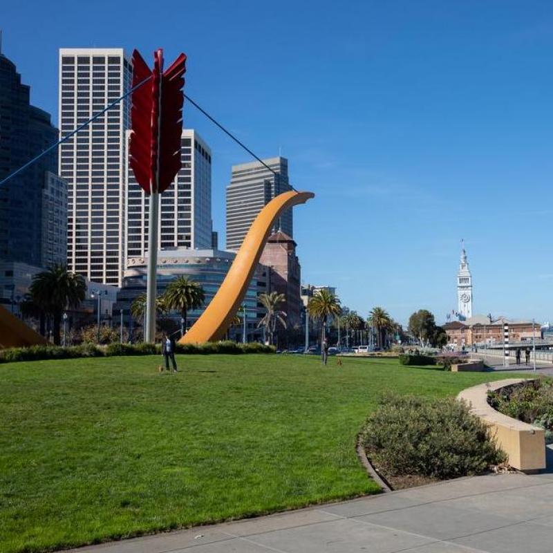
Cupid's Span at Rincon Park

Neighborhood: Rincon Hill

Location: The Embarcadero at Folsom

Rincon Park has unobstructed views of San Francisco Bay and the Bay Bridge. The Embarcadero Promenade runs alongside the park, and the park is within walking distance of several restaurants and the Ferry Building. The lawn area features the Cupid’s Span sculpture, created by Claes Oldenburg and Coosje van Bruggen. South of the park's central pathway is another smaller lawn area and Epic Steak and Waterbar restaurants.


Park Amenities

  • Grass Areas
  • Waterfront Art
  • Paved and unpaved pathways
  • Tables and chairs available to public near restaurants
  • Benches 

Aerial view of Brannan Street Wharf Park and the Embarcadero

Neighborhood: South Beach

Location: The Embarcadero at Brannan Street

Adjacent to Pier 38, Brannan Street Wharf Park provides ample park space along the Embarcadero Promenade, between Piers 30-32 to the north and Pier 38 to the south.

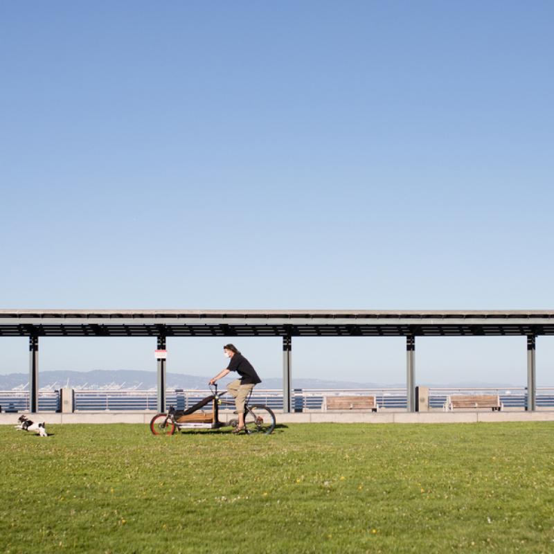
The portion of the park north of Brannan Street includes seven picnic tables and Tidal Columns, which shows the rise and fall of water levels of the Bay. The park features a large raised lawn with landscaping and several benches and a shelter structure facing the Bay. There is also an interpretive signage installation along the southern face of the raised lawn area.

The park is along the San Francisco Bay Trail.

Park Amenities

  • Accessible Raised Lawn
  • Waterfront Art
  • Interpretive Signage
  • Benches
  • Sheltered Area
  • Paved Pathways
  • Accessible Picnic Tables
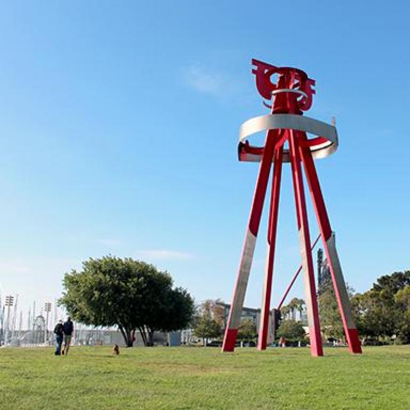
Sea Change at South Beach Park

Neighborhood: Mission Bay

Location: 753 King Street (near Pier 40)

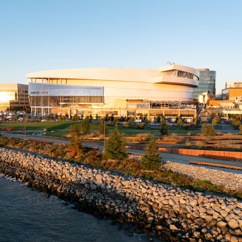
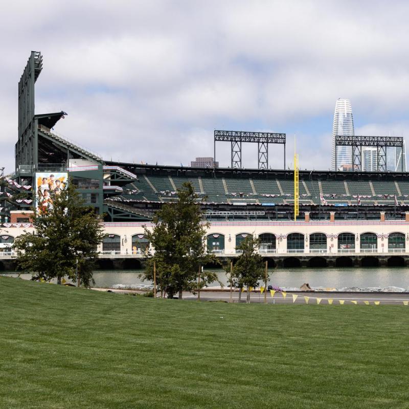
South Beach Park is located along the eastern waterfront adjacent to Oracle Park and South Beach Harbor at Pier 40. The park’s proximity to the water offers stunning views of the San Francisco Bay and is surrounded by restaurants, retail shops, and other public attractions.

There is a large grass lawn with a moving sculpture (Sea Change) and a children's playground on the south side.  


Park Amenities

  • Grass Area
  • Children’s playground
  • Benches
  • Waterfront Art
People sitting at Agua Vista Park

Neighborhood: Mission Bay 

Location: 800 Terry Francois Blvd

Open daily from dawn to dusk

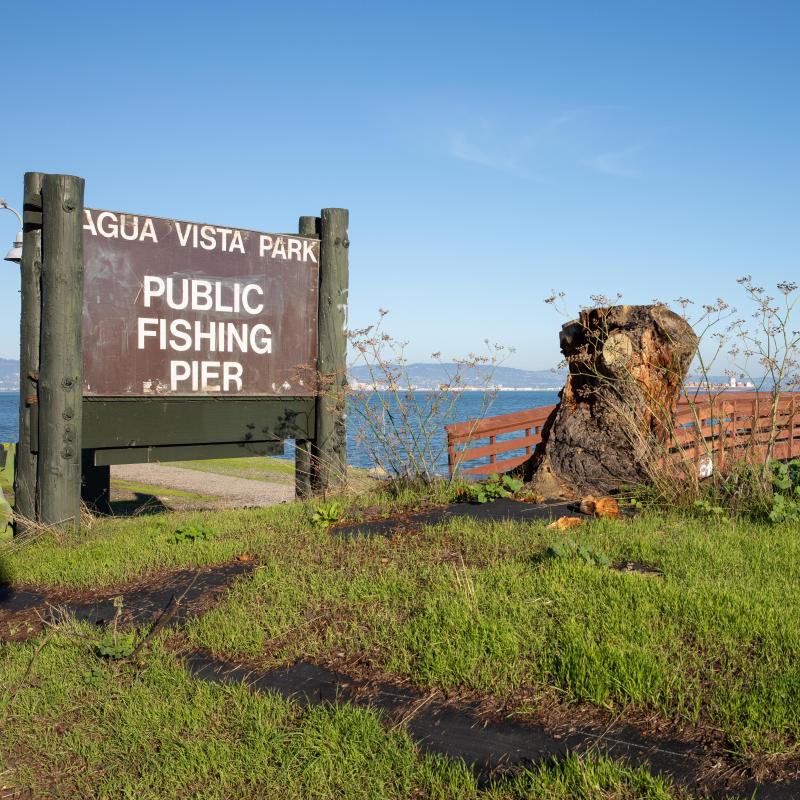
Agua Vista is a park and public fishing pier on the east side of Terry A. Francois Boulevard in the heart of Mission Bay, near boat clubs and restaurants. It is adjacent to the San Francisco Bay Trail and has fascinating views of the shipyard repair operations. 

The park includes four landscaped areas separated by paths leading between Terry Francois Boulevard and the SF Bay Trail, which passes through the site. The park features three picnic tables and a wooden fishing pier that extends out over the bay.

Park Amenities

  • Public fishing pier 
  • Picnic benches
  • Landscaped areas


Crane Cove Park

Neighborhood: Mission Bay

Location: 18th Street and Illinois Street

Open daily 6am-10pm

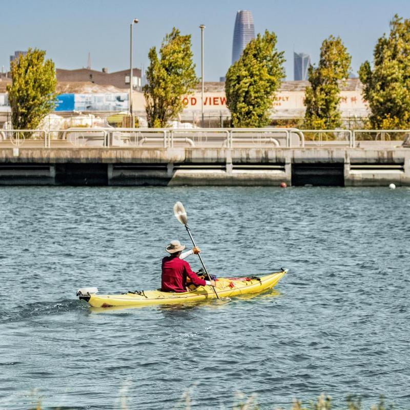
Crane Cove Park is a seven-acre Bayfront park with a beach, located on the Port’s southern waterfront. The park features a large lawn area, planted landscape areas,  a picnic area with tables, benches and grills, a lookout deck with views of the city and surrounding San Francisco Bay, and a beach area with direct access to the water for wading and kayak launching. A wide promenade extends from the lookout deck, dividing the park into two sections south of 18th Street and Building 49. The park is designed to sustain up to 28 inches of sea level rise, helping to protect the surrounding City assets against flooding. 

Crane Cove Park is part of the Union Iron Works National Register Historic District and is significant for its maritime history and industrial architecture with the initial construction of the Union Iron Works Machine Shop through the end of World War II.

Park Amenities

People sitting at Crane Cove Park, photo credit to Robb Williamson/AECOM
  • Grass Area
  • Picnic area with accessible tables, benches and barbecue grills - available on a first-come, first-served basis, no reservations needed
  • Paved pathways
  • Beach access for water recreation and wading area with an accessible beach mat
  • Plaza Space for Special Events
  • Parking lot with 6 disabled accessible spaces available south of the park across 19th Street
  • Accessible public restrooms in Building 49 - coming soon 

Park Rules

  • No swimming allowed, wading is permitted in designated areas
  • Keep 300 feet away from piers and vessels

Water Quality

The San Francisco Public Utilities Commission monitors the water at publicly accessible beaches for water quality and bacterial risks. In some cases, notices are posted and beaches are closed based on results. Read more about their program

The Port investigated both soil and sediment for metals, petroleum hydrocarbons, and other potentially hazardous chemicals before designing Crane Cove Park. To prevent chemicals from leaching out of sediment into the water, the Port had a sediment cap designed and constructed over a portion of the bay floor where it was deemed warranted. This was coordinated with the Regional Water Quality Control Board and Department of Public Health Bureau of Environmental Health. The underwater sediment cap consists of a layer of carbon-amended sand covered by layers of variously sized gravel, cobble and stone to protect the cap and hold it in place. The construction of Crane Cove Park itself, with paving, clean imported soil, and landscaping covering the soil, serves as a cap to prevent dispersion or runoff of soil that could impact water quality. 

Walking path at Warm Water Cove

Neighborhood: Dogpatch

Location: 24th Street

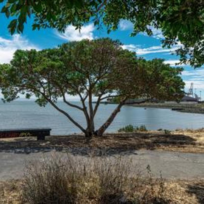
Warm Water Cove is a small park nestled within the industrial central waterfront. The park is part of the Blue Greenway. 

There is a paved pathway that navigates through a grove of trees, a picnic table and seating.


Park Amenities

  • Benches
  • Picnic tables
  • Paved pathways 
Skateboarding at Bayview Gateway Park

Neighborhood: Bayview

Location: Cargo Way between 3rd and Illinois

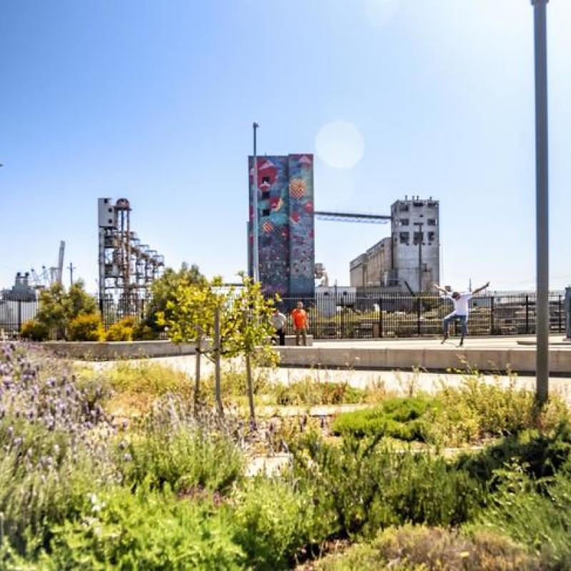
Bayview Gateway Park is located in the Bayview neighborhood at the corner of Cargo Way and 3rd Street, The park is also home to San Francisco Fire Department Station 25. The park includes a skateboarding area with raised platforms, picnic tables and benches

An active cargo rail line runs across the park, which serves nearby cargo and shipping industries.


Park Amenities

  • Accessible Picnic tables 
  • Benches
  • Skateboarding area
Heron's Head Park

Neighborhood: Bayview

Location: Cargo Way & Jennings Street

Open daily from dawn to dusk

Heron’s Head Park is a 22-acre open space and thriving wildlife habitat located in the Bayview neigborhood. Named for its resemblance to the Great Blue Heron when viewed from the air, the park attracts more than 100 bird species a year and is used for education and recreation by thousands of bird watchers, hikers, students, teachers, and visitors from around the San Francisco Bay Area. Heron Head’s Park is part of the San Francisco Bay Trail.

Park amenities

  • Grass Area
  • Accessible Picnic area and barbecue grills
  • ButcherTown Dog Run
  • Paved and unpaved walking trail (paved path to EcoCenter)
  • Community center for rent
  • Parking lot 
  • Accessible Environmental Restrooms
  • Nature play area with accessible features

The EcoCenter at Heron’s Head Park

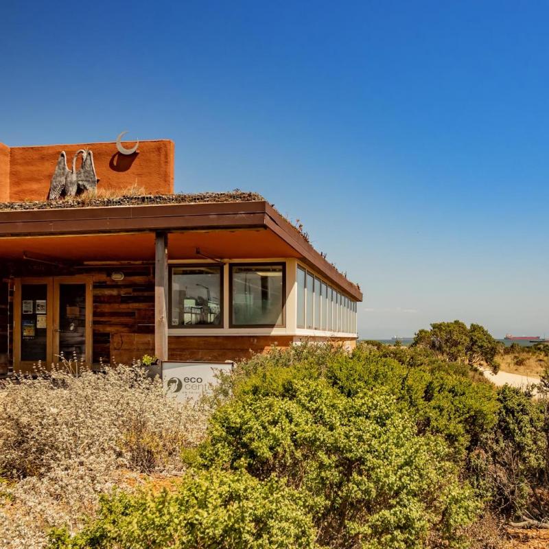
EcoCenter at Heron's Head Park

The EcoCenter is an educational community center operated by San Francisco Recreation and Parks and owned by the Port. The center is the first LEED Platinum building in San Francisco that uses sustainable on-site power, water, and wastewater systems. The facility is designed to educate the public about renewable energy, green economy, and sustainable architecture. The EcoCenter can be rented for events through San Francisco Recreation and Parks.


Â