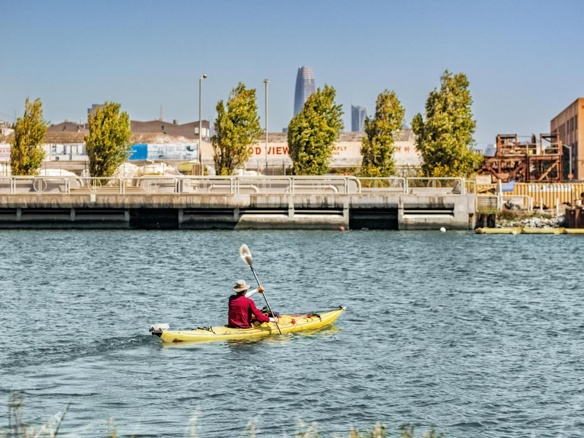
Location: Running west to east in the Bayview/Hunters Point neighborhood. The creek is bounded on the north by Piers 80 and 84 and bounded on the south by Piers 90 and 92. Map
Islais Creek’s watershed was ideal for human settlement. Here, fresh water from uphill springs flowed into saltwater marshlands filled with abundant wildlife. The native Ohlone people fished, hunted, and gathered wild foods such as the “Islay” fruit that gave the creek its name.
Eventually, communities of workers who labored in the industrial areas lining the wetlands settled on nearby Bayview and Potrero hills. The east shoreline of the bay and creek were gradually filled in to create room for development, resulting in the “channelization” of Islais Creek.
The original landscape has been dramatically transformed, but the channel remained vital for cargo handling and maritime industries. Labor movements sprung up in the factories and on the docks along the creek, and became important longshore and warehouse workers’ unions. Today, the urban shoreline of Islais Creek provides recreation opportunities, and is the subject of visionary resilience strategies to protect the bay shoreline and the local community from sea level rise.
Islais Creek Interpretive Exhibits
The Port invites you to explore interpretive exhibits at Islais Creek to honor its history, celebrate its significance, and emphasize the importance of its protection. Download the self-guided tour map.